
Show summary Hide summary
A 13km stretch of the Táin Way across the Cooley Mountains combines dense woodland, ancient archaeology and expansive coastal views. Broadcaster Anton Savage and presenter Doireann Ní Ghlacáin feature the route on this week’s Tracks and Trails, guiding viewers from Ravensdale Forest to the seaside village of Omeath.
Route overview
The path climbs out of Ravensdale Forest and follows ridgelines that look over Carlingford Lough and the Mourne Mountains. Along the way walkers pass a notable prehistoric monument: the Clermont Cairn, dated to around 5,000 years old.
Funeral plans announced after Dublin gig death of Westlife fan
Search under way after air ambulance loses radar contact
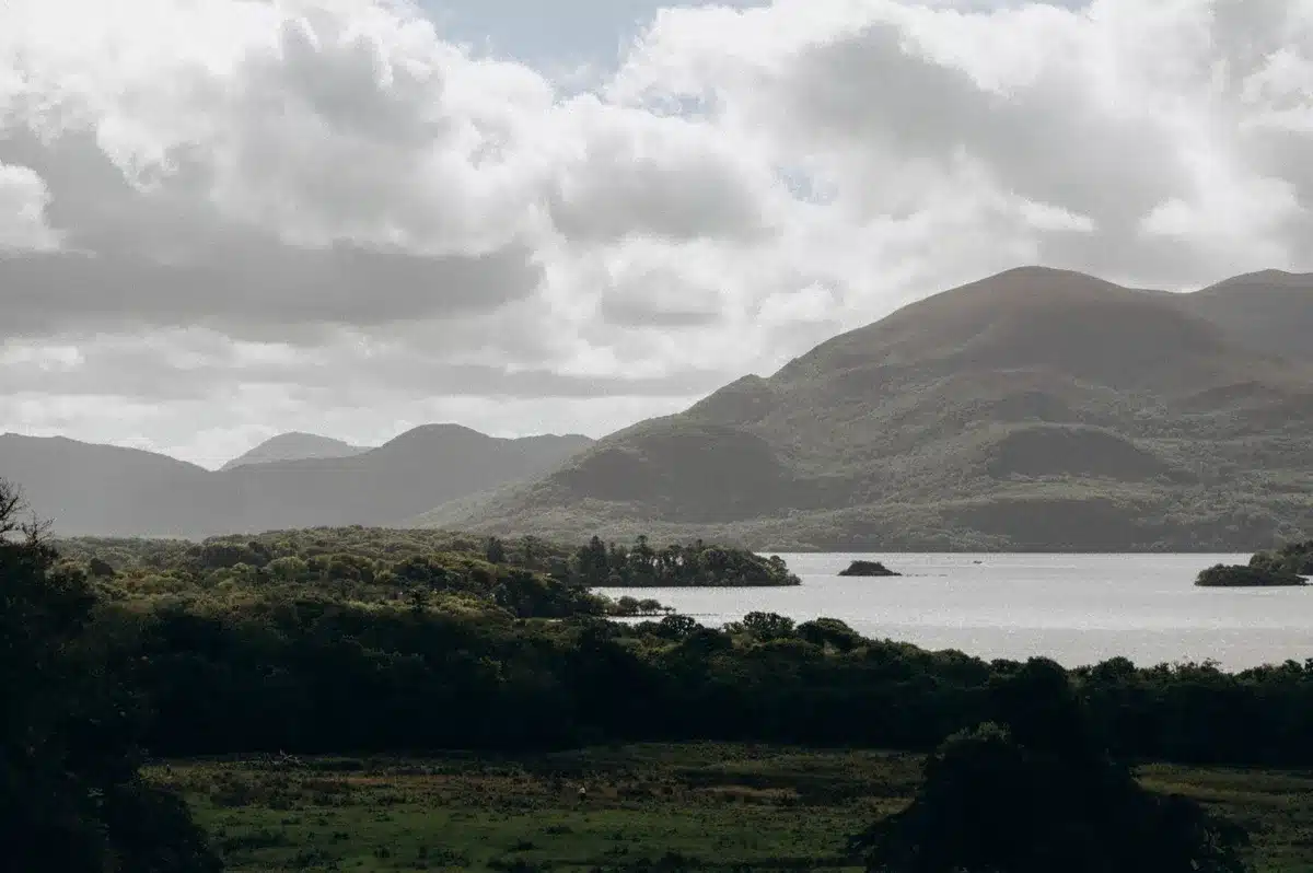
A historic track known locally as the Cadger’s Pad runs across part of the route. Once used by smugglers and pack-carriers, it now provides dramatic mountain views and a direct line toward Omeath on the coast.
Practical details
- Distance: 13km
- Starting point: Ravensdale Forest Car Park — Coillte
- Terrain: Forest paths and mountain trails with moderate climbs
- Difficulty: Moderate to challenging
- Duration: About 4–5 hours
- Best for: Experienced walkers, those interested in history, and anyone seeking coastal panoramas
Trail advice
The section is waymarked, but mobile reception is patchy on higher ground. Download an offline map or carry a paper route guide before setting out.
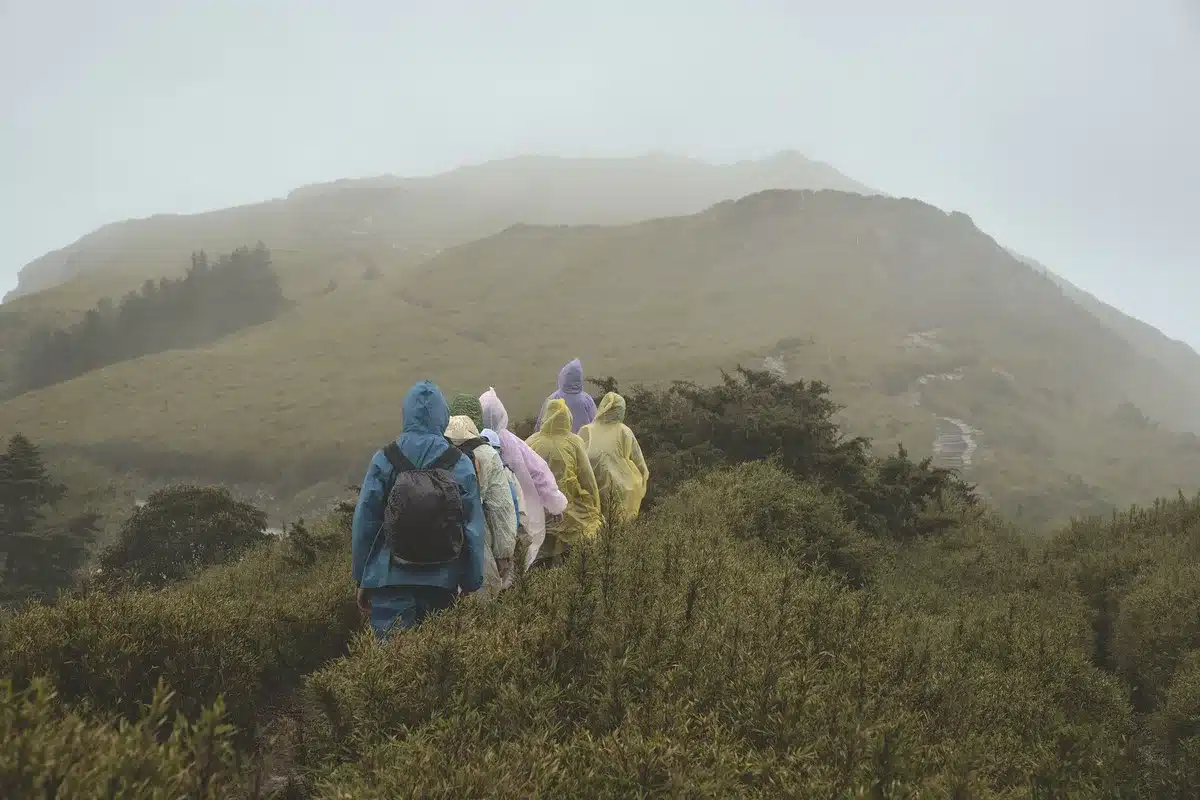
Weather can shift rapidly in the mountains. Even in summer, expect wind and the chance of rain. Dress in layers and carry waterproof outerwear.
Bring sturdy hiking boots, sufficient water, snacks and a charged phone. Basic first-aid supplies are also recommended for longer outings.
Note the route is one-way. The road distance back from Omeath to Ravensdale is roughly 15km. Plan transport in advance — local taxis operate in the area.
Trail surfaces vary with the season. After heavy rain sections can be muddy or slippery; check local condition updates before you leave.
About the Táin Way
The Táin Way is a 40km loop across the Cooley Peninsula that traces the journey associated with Queen Maeve’s army in the early Irish epic Táin Bó Cúailnge (The Cattle Raid of Cooley). Walking the trail links the landscape to a long oral and archaeological tradition in the region.
For further practical information and route details, consult Visit Louth.
Broadcast details
Tracks and Trails airs on Fridays on RTÉ One at 8:30pm. Episodes are available on RTÉ Player, and viewers outside Ireland can watch on YouTube.